Bastards Ridge - San Gabriel Mountains

My friend, Ashima, and I decided in 2017 we would try to hike at least one peak together a month this year (starting in February). I am going a little out of order here because we did a peak in February, but this blog post is about our recent hike in the San Gabriel Mountains on a route called Bastards Ridge. It's been snowing like crazy everywhere in California, so we've generally been avoiding the Sierras. This has left us mostly with lower elevation peaks near the coast.
Our first peak was a bit of a breeze for the both of us, an easy 1500 feet of elevation gain over the course of 6 miles or so (12 round trip). So I was looking for some inspiration for more of a challenge this time.
The week before our planned hike date I found a post on Instagram from a random guy I started following due to like minded interests. He had posts on a lot of cool outdoor hikes and mountaineering trips in California and thought it would be cool to get inspiration from his posts, and it came in handy! He posted a recent photo of a trail called Bastards ridge, that featured not only 1 peak, but 4 on the entire route.

I found one website with some more details on the route and it peaked my interest. This, Bastards Ridge, was in a commonly hiked area of the San Gabriel Mountains for hikers wanting to reach the top of Mount Wilson. However, most people hiked many of the maintained trails to get to the top of Wilson. We decided to opt for the Bastards Ridge trail instead.
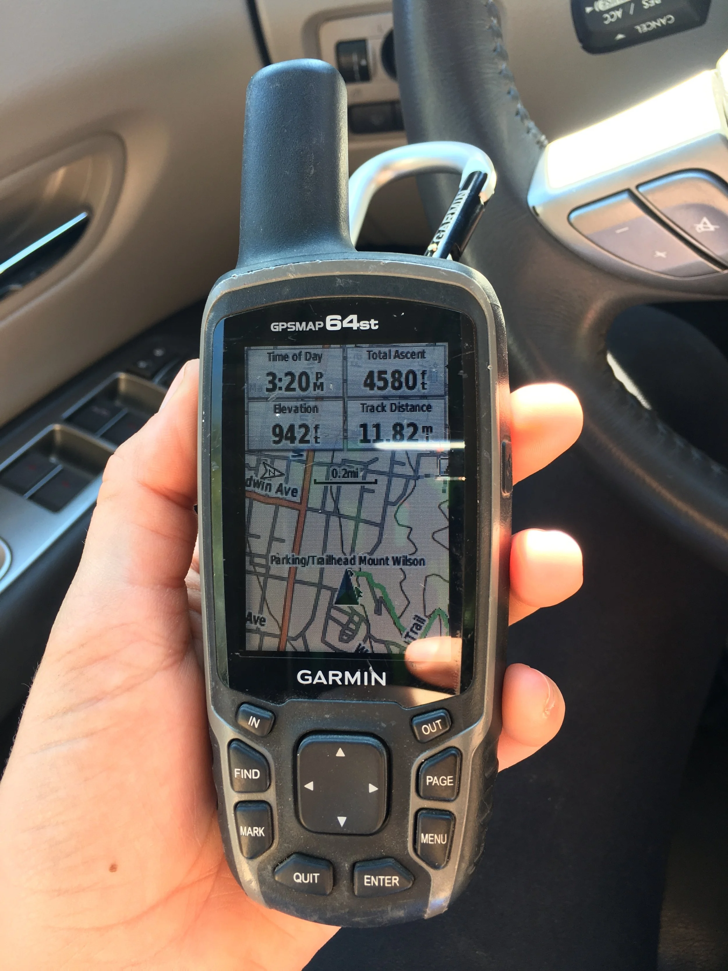
I decided to build a map myself in google earth of the "route" and download it to my gps (mostly for my own practice), but it did come in handy when Ashima and I found our selves off route a couple times at the beggining of the trail.
The trail starts at the Mount Wilson trail head which is located in Sierra Madre, California. I just looked up "Lizzie's Trail Inn and the Richardson House" on google maps and drove there. You'll park on that street by the park on Mira Monte.
The plan was to start our hike up Mount Wilson trail head, and then head up left on a side trail (unmarked) which is Bastards Ridge. The first peak we would summit would be Jones Peak (3,390'), the second Hastings Peak (4,000'), the third Mount Yale (4,760'), and then finally Mount Wilson (5,713'). We would end by coming down the main Mount Wilson Trail. A big loop.
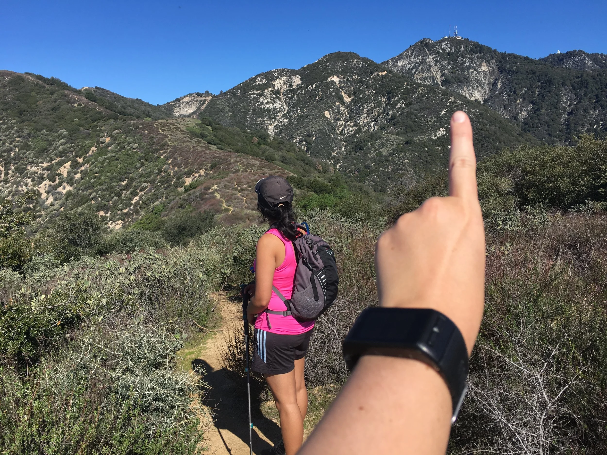
We left Bakersfield for Sierra Madre at around 5:30am and began our hike around 8am. As mentioned before, the first bit was on the Mount Wilson Trail. You have to keep a sharp eye out though for the side trail that goes up left towards Jones Peak. We passed it on accident (noticed it on our GPS) and when we back tracked we were able to see the trail better. There is Ashima in the below photo on the beggining of this side trail.
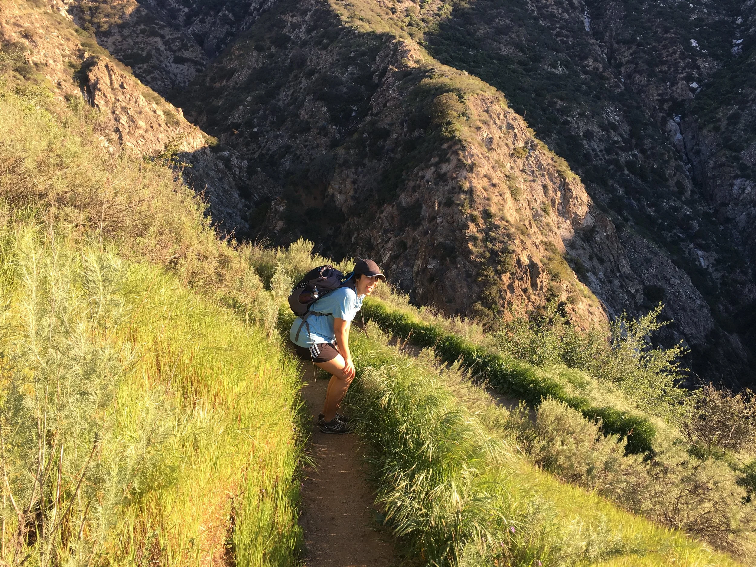
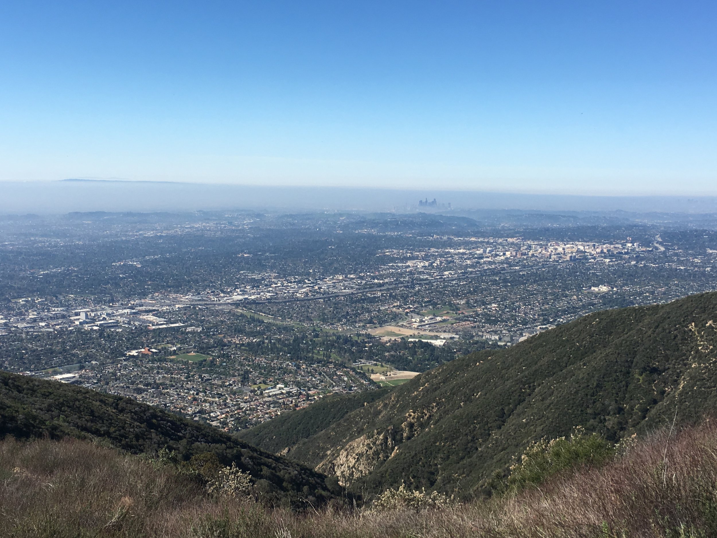
At first Bastards ridge appears to be this thin, but well maintained hidden little side trail. You'll reach a nice little bench that overlooks Sierra Madre and Pasadena for a picturesque view. However, don't make the mistake (like we did) and continue following that nice thin maintained trail. We found it was taking us way away from the path i had mapped out on the gps.
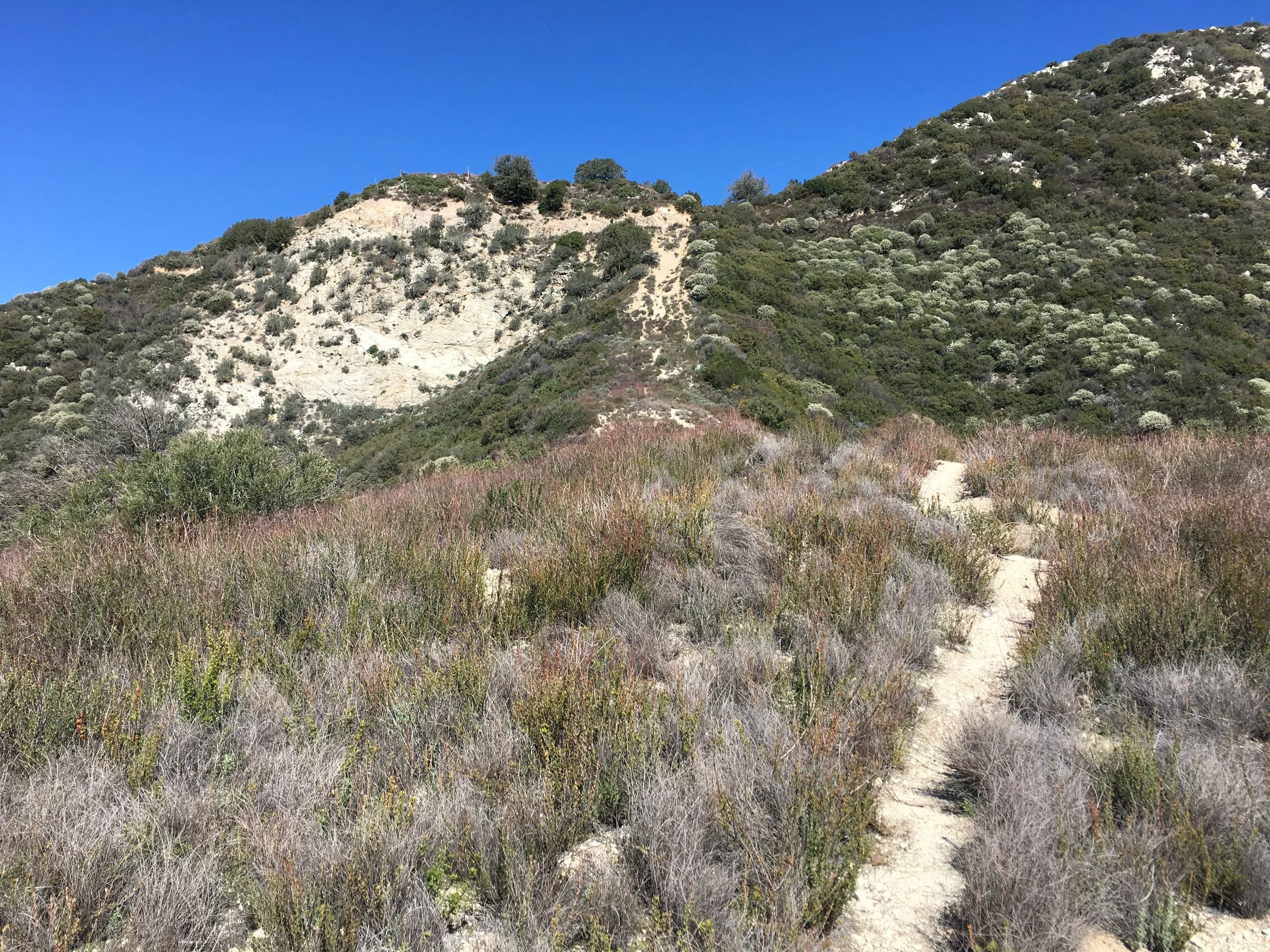
We found our way back to the bench and looked up and saw basically what looked like a drainage ditch all the way up a steep hill. On a leap of faith, we convinced ourselves to go up this.
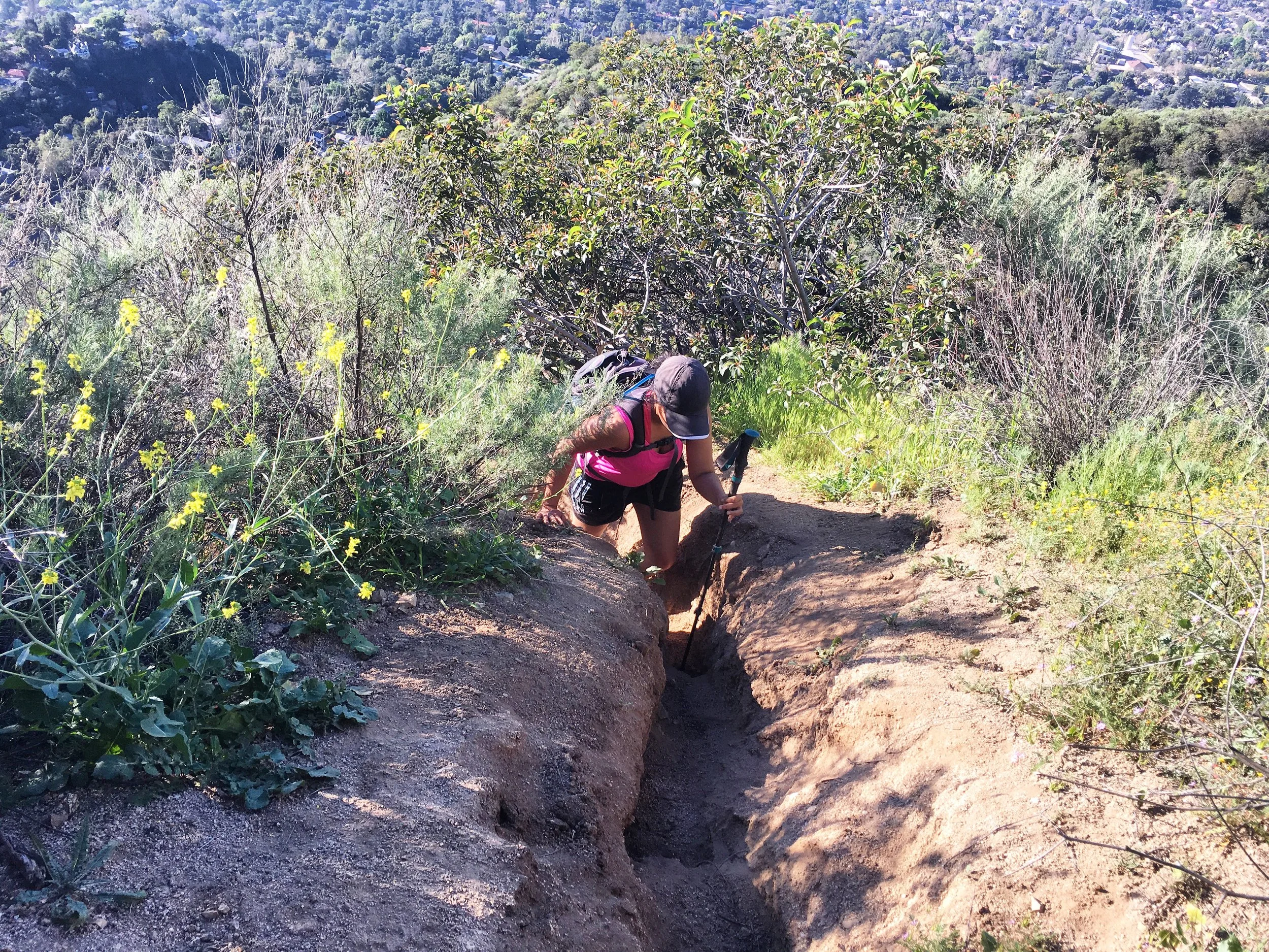
It was super hot on our hike Sunday, even in the early morning. So the hike up to Jones Peak was a double Bastard. Also, we were slightly concerned about snakes deciding it was warm enough to come out, but fortunately we never saw any.
The trail was very steep, in fact, probably the hardest part about Bastards ridge is getting up to the summit of Jones Peak. We did most of our elevation gain (4500' of total gain) in the first 3 miles of our 12 mile hike.
Upon summitting Jones Peak, we took our mandatory summit pic.
Then on to the next one.
You can see Mount Wilson in the distance. this was our planned final peak for the day. We would have to cross several more miles to get there and 3 more summits.
The ridge line is fairly straight forward to follow to the next peak, Hastings Peak, as there is really only one way to get there from the top of Jones Peak.
Downtown LA seen in the distance.
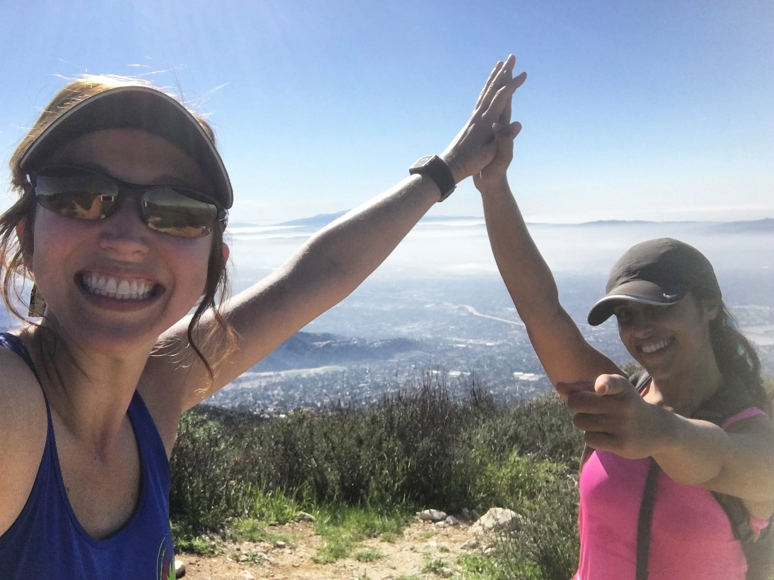
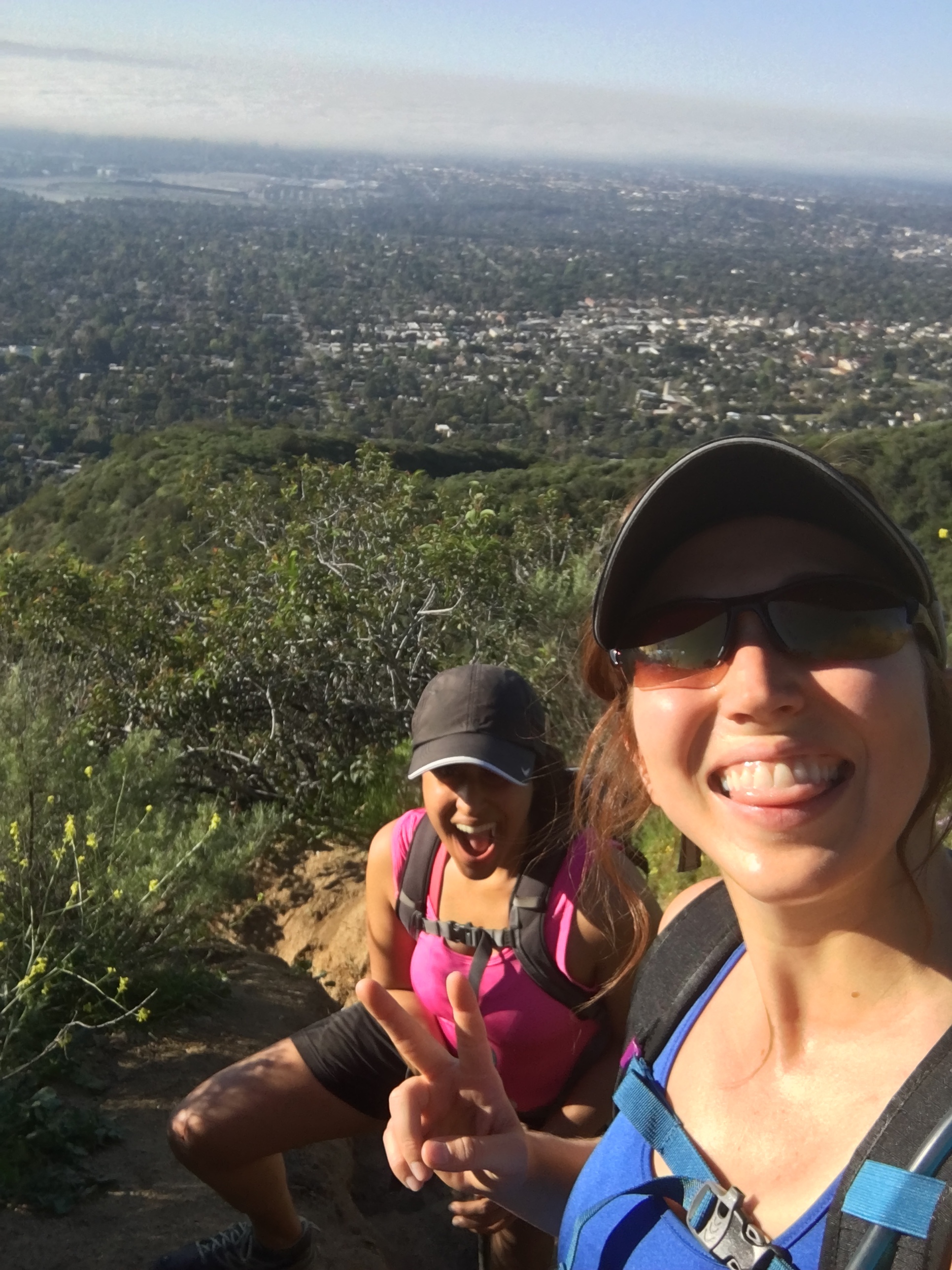
Second Peak of the day. Check. In the picture below we are framing Jones Peak and the ridge line we just came from in the background.

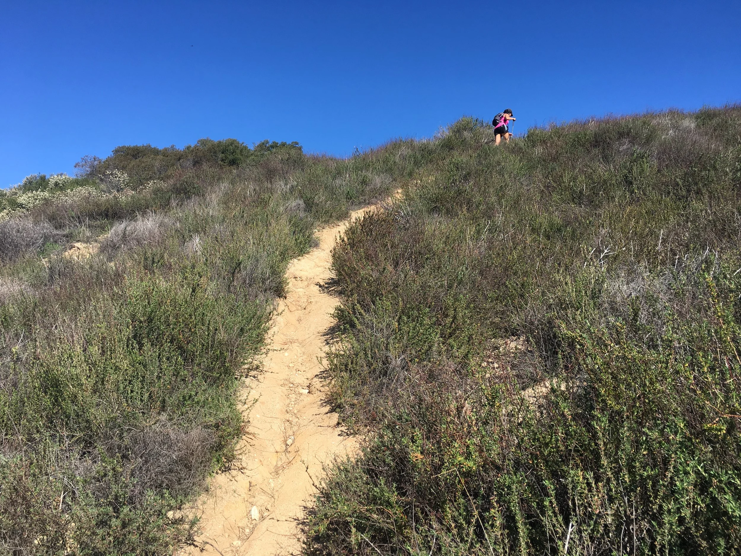
Next, you continue to follow obvious trail on the ridge up to Mount Wilson Toll Road. There is a portion of the trail here that looks like it would be too steep to climb. It looks super vertical from far away, but when you get closer you find that it is doable... but still steep.
It was only getting later in the day and with that warmer. We were both feeling drained from the heat. We opted to skip the third summit, Mount Yale, and continue right on the toll road toward Wilson.
When we got to the junction of heading up to Mount Wilson and just heading down to the car via the main trail back (still about 7 miles) we decided it was way too fucking hot and decided to end our day with just Jones and Hastings Peaks.
I think if the weather had been nice it would have been no problem to summit Yale and Wilson as well, but we were super drained, and both running low on water.
Still, an accomplished day. In total we went about 12 miles and 4500' of elevation gain. Our calves were properly wrecked and 2 summits accomplished.
If the weather cools down, check this route out! It was definitely a good challenge and training trail. Don't feel bad about the many fantastically fit trail runners you'll see en route... they are basically unavoidable on the Mount Wilson trail.
Cheers.